In the heart of the Middle East, cities such as Riyadh, Jeddah, Dammam, and many others across Saudi Arabia are experiencing increasingly intense heat waves due to climate change and urban expansion. With rising temperatures, transportation infrastructure—roads, tunnels, railways, and vehicles—faces greater stress than ever before. The need for resilient, heat-resistant transportation systems has become a national priority.
At Redlines, we help achieve this goal through advanced temperature mapping study services. Our work provides the data and insights necessary to build transport networks that can endure high heat levels, maintain safety, and perform reliably even in extreme weather conditions.
Why Heat Resistance Matters in Transportation
Extreme temperatures can cause serious problems for transportation systems, such as:
- Asphalt softening and road surface damage
- Railway track expansions and deformation
- Overheating in vehicle engines and cabin interiors
- Reduced effectiveness of cooling systems in public and private transport
- Increased energy consumption and infrastructure wear
A well-planned, heat-resistant network must be based on accurate data about how temperatures vary across zones and infrastructure types. That’s where temperature mapping study becomes essential.
The Role of Temperature Mapping Study
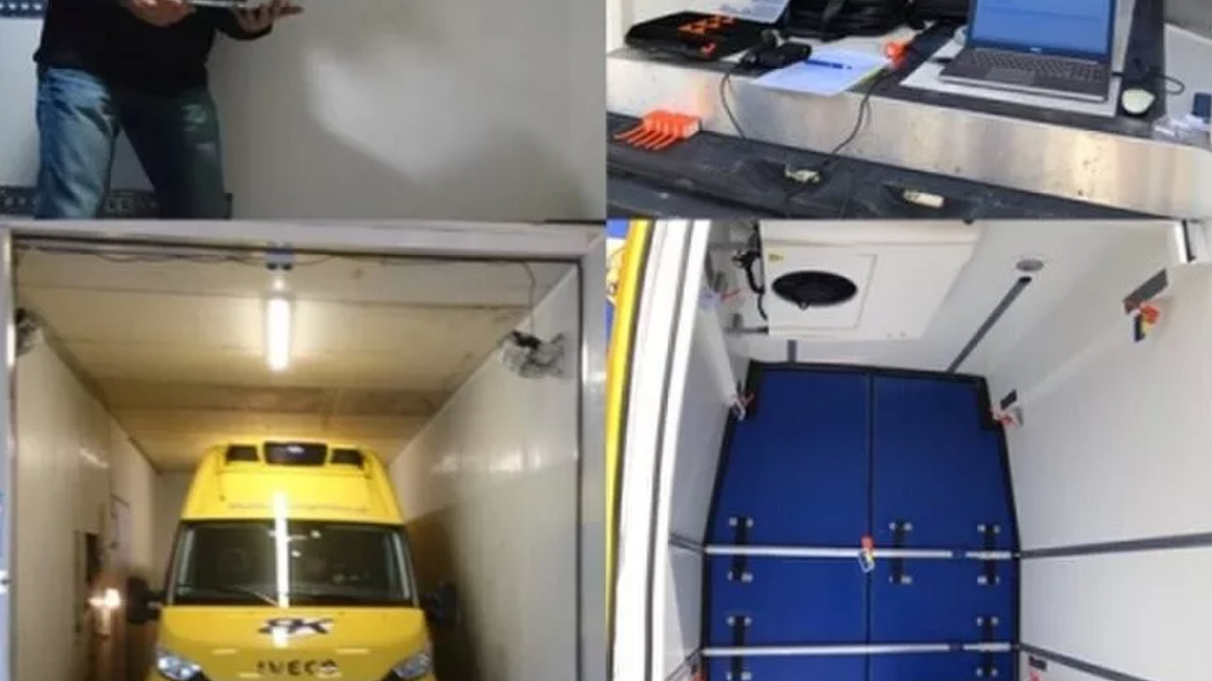
Temperature mapping study involves placing thermal sensors across key transport assets—roads, depots, parking lots, tunnels, and even inside vehicles—to monitor how heat behaves in different environments and at different times of the day.
At Redlines, we specialize in conducting temperature mapping study across Saudi Arabia, including Jeddah, Dammam, and Riyadh. We help transport authorities, engineers, and urban planners make informed design and maintenance decisions, including:
- Identifying hotspots prone to material damage
- Monitoring performance of cooling systems in public transit vehicles
- Optimizing shading, ventilation, and insulation in transport hubs
- Enhancing road material choice based on thermal performance
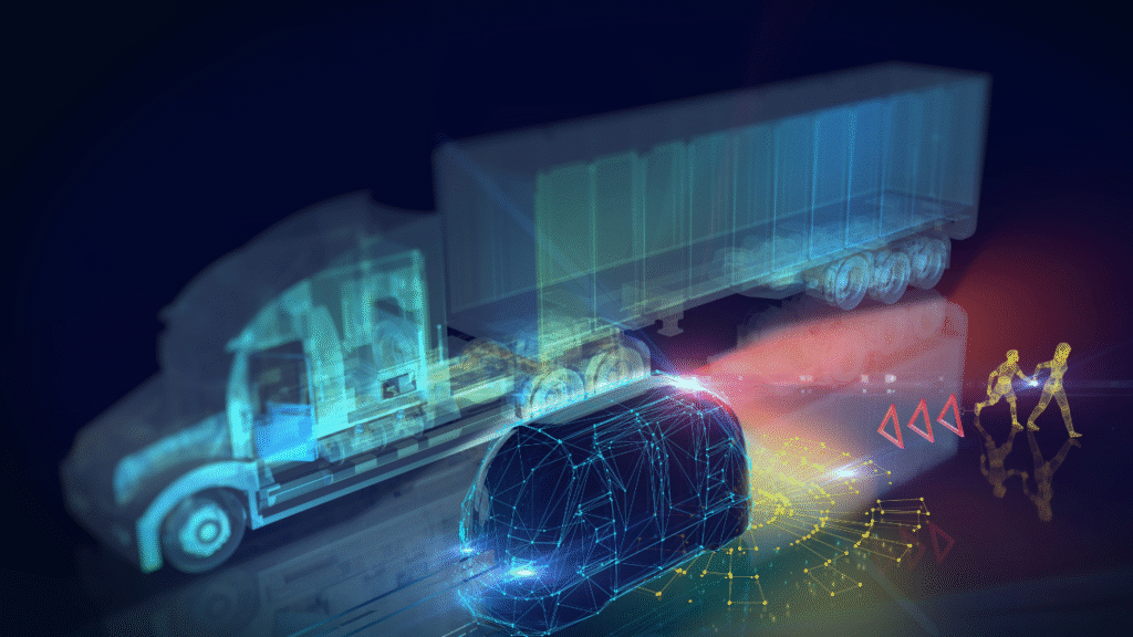
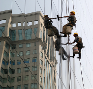
Applications in Transportation Infrastructure
1. Road Networks and Highways
Heat can soften road surfaces, especially when materials are not selected according to climate conditions. Using temperature mapping study, our team identifies which segments are most vulnerable to thermal stress and recommends suitable materials and design improvements.
2. Rail Systems
Rail lines expand under heat, which can result in buckling and operational delays. Through temperature mapping study, we help railway engineers monitor critical points and adjust infrastructure design or maintenance schedules accordingly.
3. Public Transport Vehicles
Buses, metros, and trains often suffer from excessive in-cabin heat, especially when parked or moving under direct sunlight. Our temperature mapping study includes real-time monitoring of cabin temperatures to assess the performance of insulation and AC systems.
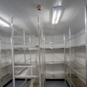
4. Parking Areas and Transport Hubs
Large asphalt lots and uncovered terminals can become heat sinks, creating discomfort for users and added strain on surrounding structures. We use temperature mapping study to propose practical cooling solutions such as smart shading, reflective surfaces, or vegetation integration.
Benefits of Temperature Mapping Study for Transport Planning
✅ Prevents infrastructure damage by detecting thermal stress early
✅ Supports safer and more comfortable travel experiences
✅ Helps reduce operational costs and energy waste
✅ Enables data-driven decisions for long-term sustainability
✅ Assists in regulatory compliance for public safety and efficiency
Why Choose Redlines?
With a deep understanding of local climate conditions and urban demands, Redlines is your trusted partner for heat-resilient infrastructure planning. Our temperature mapping study services are tailored for transportation authorities, construction firms, and urban developers across Saudi Arabia, especially in Riyadh, Jeddah, and Dammam.
🔹 Certified experts in temperature assessment
🔹 Advanced monitoring equipment and sensors
🔹 Custom reports and infrastructure-specific solutions
🔹 Strong focus on sustainability and performance
🌐 Learn more at: www.redlines.sa
Conclusion
In a region where heat is unavoidable, preparation is key. Building a transportation network that can resist and adapt to high temperatures begins with understanding exactly how and where heat affects infrastructure. Through temperature mapping study, Redlines empowers planners and engineers to create cooler, safer, and more durable transport systems for the future.
📞 Contact us today to begin building your heat-resistant transportation network with precision and confidence.