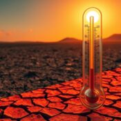
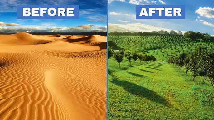
Desert farming has become a strategic priority in Saudi Arabia, supporting food security through advanced agricultural technologies. However, extreme heat, sharp temperature fluctuations, and uneven microclimates present significant risks to crop quality, yield consistency, and storage safety. To manage these challenges effectively, a temperature mapping study plays a critical role in identifying hidden temperature risks across desert farming environments.
At Redlines, we provide professional temperature mapping study services across Saudi Arabia, including Jeddah, Dammam, and Riyadh, helping agricultural operators gain accurate temperature insights and improve climate control strategies. Learn more at www.Redlines.sa.
1. Extreme Day–Night Temperature Fluctuations
One of the most critical risks identified through a temperature mapping study in Saudi desert farming is the sharp contrast between daytime and nighttime temperatures. Crops grown in open fields, greenhouses, and controlled farming units can experience stress due to sudden temperature drops. A temperature mapping study helps quantify these fluctuations and supports the implementation of protective measures.
2. Heat Accumulation in Greenhouse Upper Zones
In desert farming systems, greenhouses are widely used to optimize crop growth. A temperature mapping study often reveals excessive heat accumulation near greenhouse roofs, especially in Riyadh and Dammam. Without proper ventilation or shading, these zones can damage plants and reduce productivity.
3. Uneven Cooling Distribution in Controlled Farms
A temperature mapping study frequently identifies uneven cooling across desert farming facilities. Some zones may remain excessively hot while others are overcooled, leading to inconsistent crop growth. Mapping studies provide precise data to balance cooling systems and ensure uniform temperature distribution.
4. Soil and Root-Zone Heat Stress
Temperature risks are not limited to air temperature alone. A temperature mapping study can identify excessive soil and root-zone temperatures that negatively affect nutrient uptake and plant health. In Saudi Arabia’s arid environment, this insight is essential for irrigation and soil management planning.
5. Storage and Post-Harvest Temperature Exposure
After harvesting, crops often pass through temporary storage or packing areas. A temperature mapping study identifies heat exposure risks in these zones, particularly during peak summer months in Jeddah. Preventing post-harvest temperature spikes helps maintain produce quality and extend shelf life.
6. Irrigation System Heat Influence
Water temperature plays a significant role in desert farming. A temperature mapping study can reveal how warm irrigation water affects soil temperature and crop stress. These findings support better water storage, cooling, and delivery strategies in agricultural operations.
7. Climate System Failure and Recovery Risks
Desert farms rely heavily on cooling and ventilation systems. A temperature mapping study evaluates how quickly temperatures rise during system failures and how long recovery takes once systems are restored. This data is essential for risk planning and operational resilience.
Conclusion
Desert farming in Saudi Arabia faces unique and intense temperature challenges that cannot be managed through assumptions alone. A comprehensive temperature mapping study provides the data-driven insights needed to identify risks, improve climate control, and protect crop productivity.
Redlines proudly delivers expert temperature mapping study services across Saudi Arabia, Jeddah, Dammam, and Riyadh, supporting sustainable agriculture and advanced desert farming initiatives.
Visit www.Redlines.sa to learn how our temperature mapping expertise can strengthen your agricultural operations.